Subscribe
Home
Technology
Artificial Intelligence
Tech General
MarTech
HrTech
FinTech
SalesTech
Tech News
OpsTech
Industry Insights
Events
whitePaper Library
About Us
Email:
alice@b2btechnologyzone.com
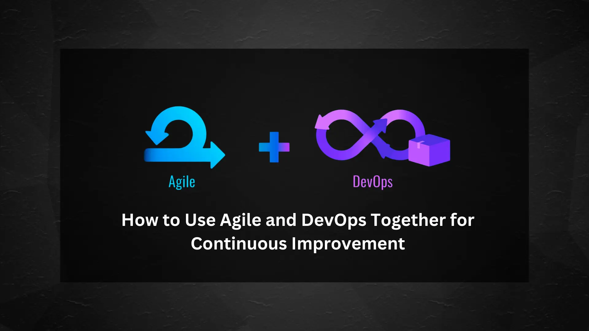
How to Use Agile and DevOps Together for Continuous Improvement
July 30, 2024
KPIT Technologies' Q1 FY25 Success: 24.8% Revenue and 52.4% PAT Jump
July 29, 2024
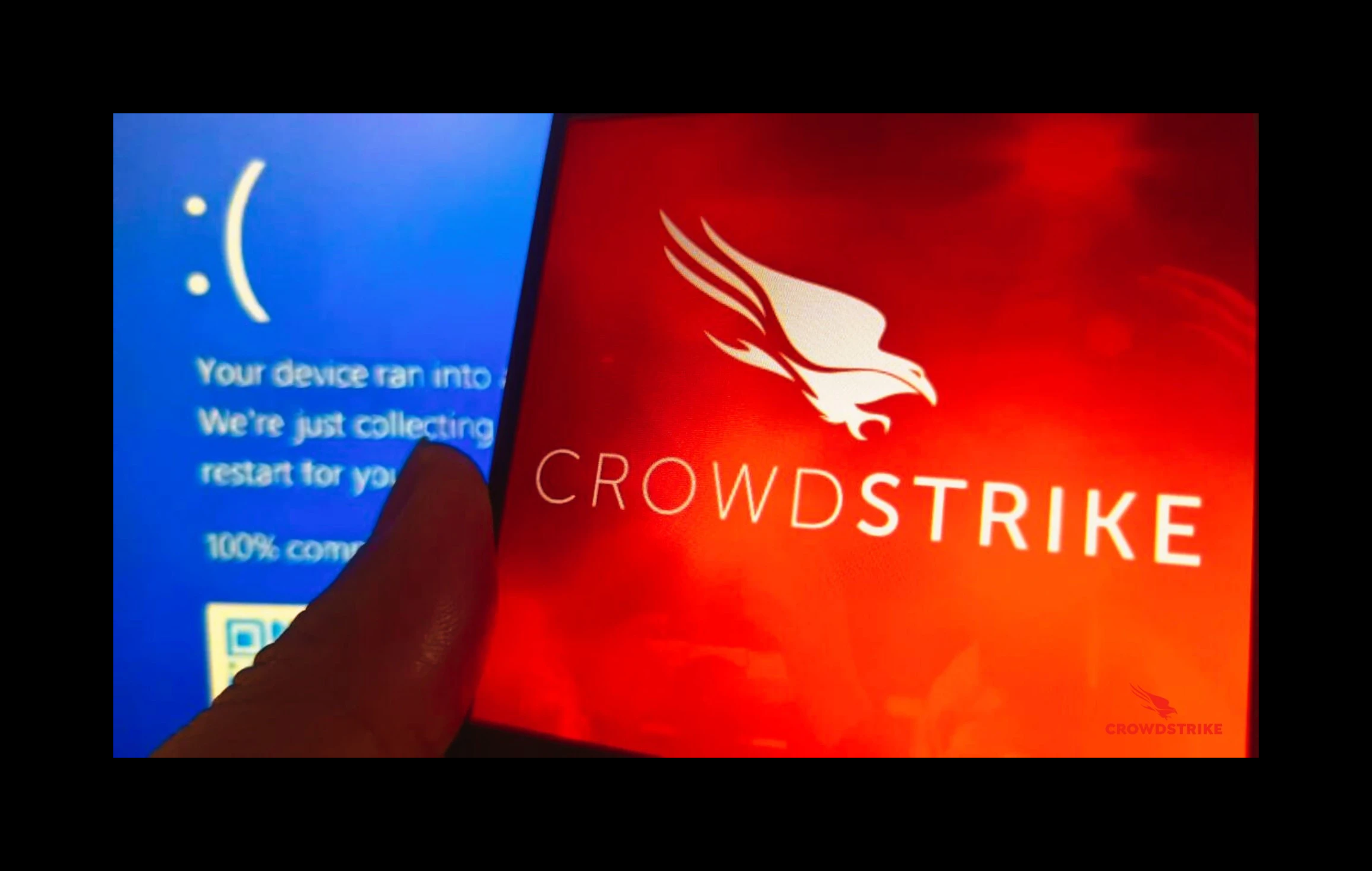
Critical Bug in CrowdStrike's Content Validator Sparks Worldwide Tech Outage
July 26, 2024
How to Implement Edge AI for Real-Time Data Processing
July 23, 2024
Search Articles
Home
Megazine Home
Newspaper Home
Technology Home
Illustration Home
Sports Home
Features
Author Details
Video Playlist 1
Video Playlist 2
Video Playlist 3
Categories
Blog Default
Blog Layout 1
Blog Layout 2
Blog Layout 3
Blog Layout 4
Post Styles
Single Post Layout 1
Single Post Layout 2
Single Post Layout 3
Pages
About Us
Our Team
Team Single
404 Error
Contact
Home
Pages
About Us
Tech General
Article Title
by
B2B Technology Zone
2024-01-23
Article content...